Topographic, contour and detail surveys on the Sunshine Coast
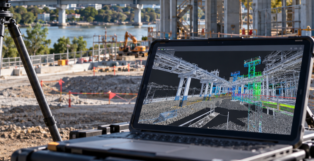
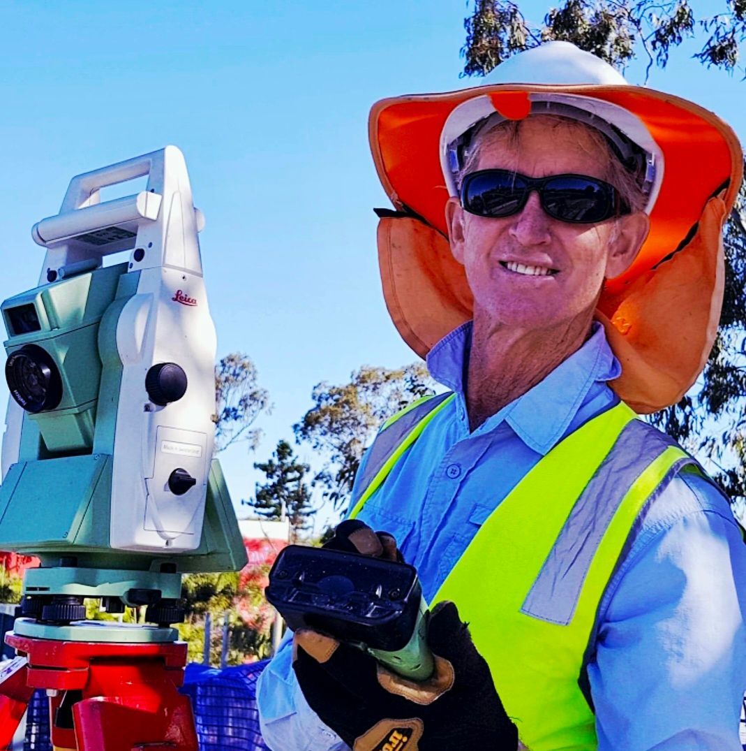
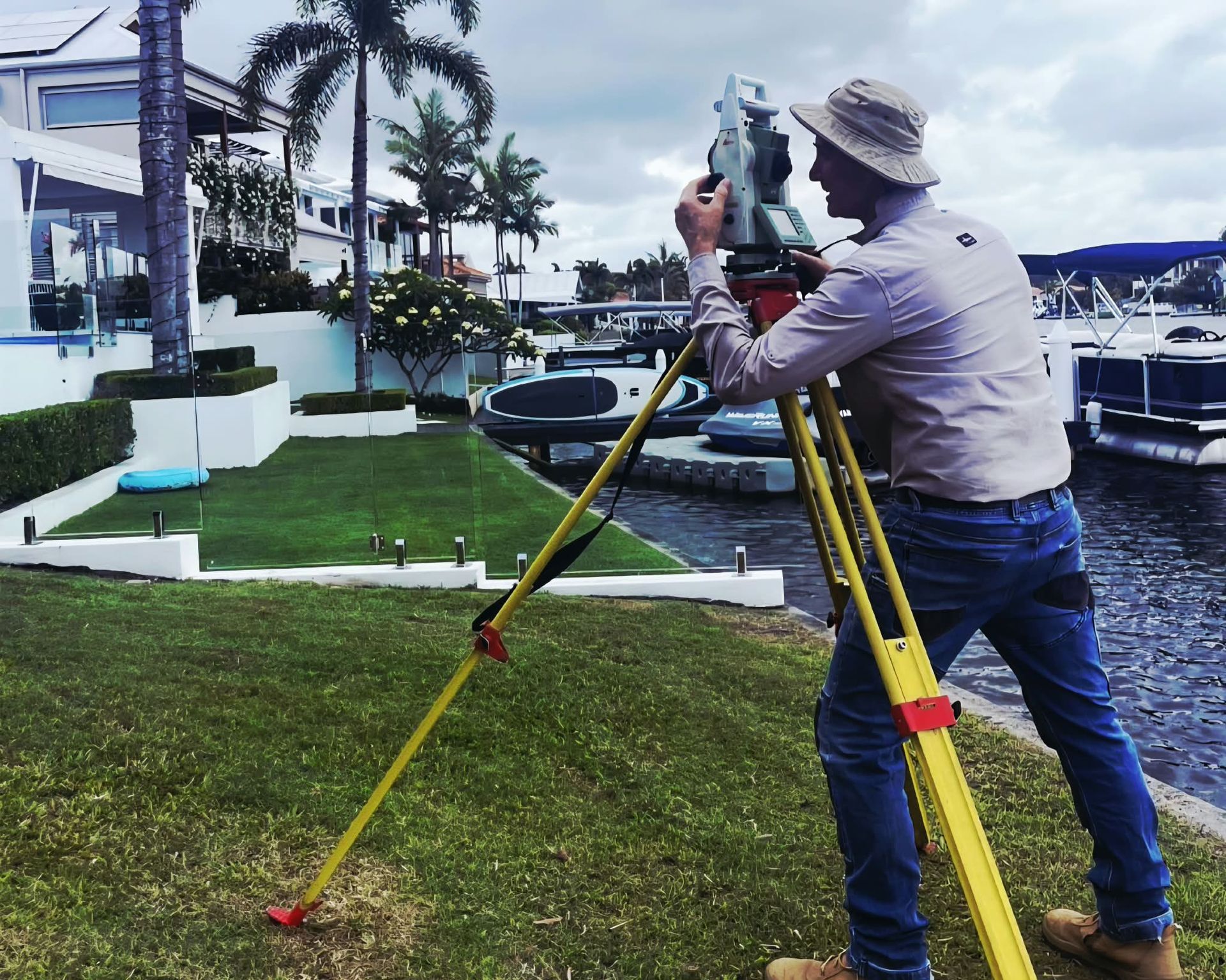
Focus Survey Group provides topographic surveys on the Sunshine Coast for engineers, architects, designers, developers and contractors. Using robotic, GPS, drone and LiDAR technology, we capture accurate contour, detail and site information for planning and design. Our local knowledge helps clients make informed decisions and reduce costly project issues.

Detailed site data for design and planning
Our topographic surveys give engineers, designers, architects, developers and contractors reliable information about existing site conditions before design or construction begins. The data can be supplied as detailed CAD information to support project planning and decision-making.
Typical topographic survey applications
- Contour and detail mapping
- Existing infrastructure capture
- Pre-design site investigation
- Ground level and feature surveys
- Large, remote or hazardous site capture using drones where suitable
Arrange a topographic survey for your site
Share your project location, required deliverables and timing with our Sunshine Coast team.
Talk to Focus Survey Group
Contact our team about topographic and contour surveys across the Sunshine Coast, Brisbane, Bundaberg and Southeast Queensland.
Contact us
We will get back to you as soon as possible.
Please try again later.