3D LiDAR scanning and CAD digital twins

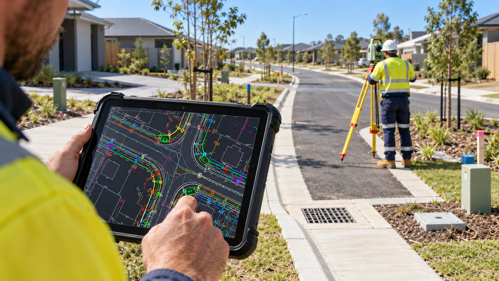
Focus Survey Group provides 3D LiDAR scanning for engineering, design and construction projects across the Sunshine Coast and Southeast Queensland. LiDAR captures dense spatial information that can be processed into point clouds, CAD models and digital twins, helping project teams work from a detailed digital representation of existing site conditions.

Detailed 3D capture for complex sites and structures

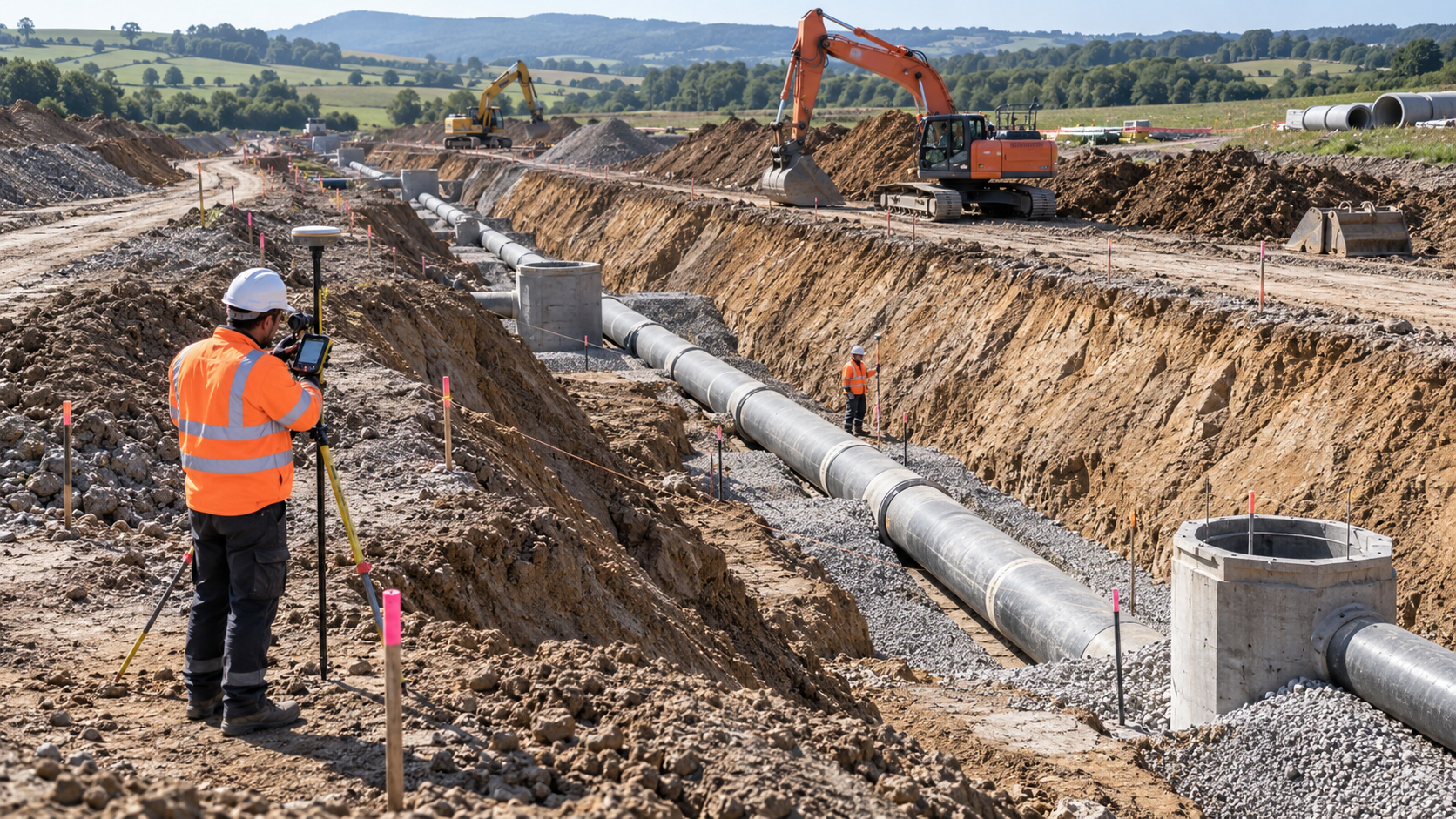
LiDAR scanning records large volumes of three-dimensional measurements quickly and consistently. It is useful where detailed existing-condition information is required for design, documentation, coordination or comparison without relying solely on individual point measurements.

LiDAR scanning applications

  • 3D point cloud capture
  • Existing-condition documentation
  • CAD digital twins
  • 3D modelling for design workflows
  • Complex site and structure capture

Discuss your 3D scanning requirements

Share your site, required level of detail and preferred digital outputs and our team can discuss a suitable LiDAR capture approach.

Other engineering surveying services

Contact our 3D LiDAR surveying team

Speak with Focus Survey Group about 3D LiDAR scanning, point clouds, CAD models and digital twins across the Sunshine Coast and Southeast Queensland.

Contact us