Drone surveys on the Sunshine Coast

Focus Survey Group uses drone surveying to capture detailed site, terrain and infrastructure information across large, remote or difficult-access areas. Drone data can support topographic mapping, design, construction planning and engineering documentation alongside our GPS and robotic surveying methods.

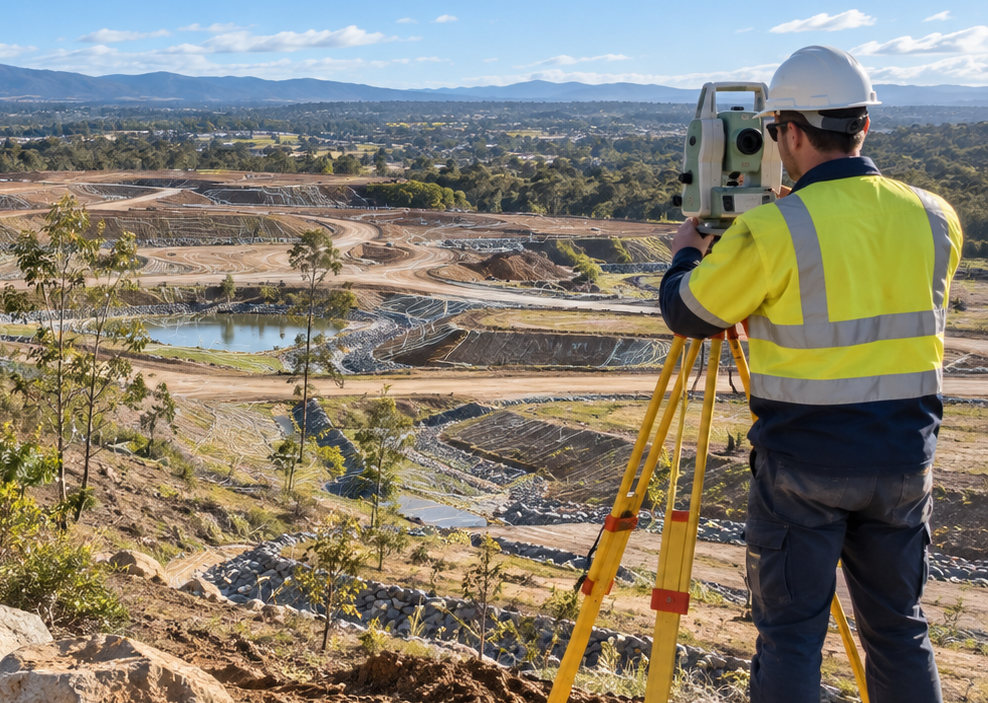
Efficient site capture across larger areas

Drone surveying can capture extensive site information efficiently while reducing the need to physically access every part of a project area. The resulting imagery and survey data can support topographic mapping, terrain modelling, engineering design and project planning where drone capture is suitable for the site.

Drone survey applications

  • Topographic and terrain capture
  • Large site surveys
  • Remote or difficult-access areas
  • Existing infrastructure capture
  • Engineering and design survey support

Discuss whether drone surveying suits your site

Tell us about your site, project objectives and required outputs and our team can advise whether drone surveying is an appropriate capture method.

Other engineering surveying services

Talk to our drone surveying team

Contact Focus Survey Group for drone surveying across the Sunshine Coast and wider Southeast Queensland.

Contact us