

Focus Survey Group • September 3, 2026

What does a topographic survey show and when do you need one?

Why topographic surveys matter

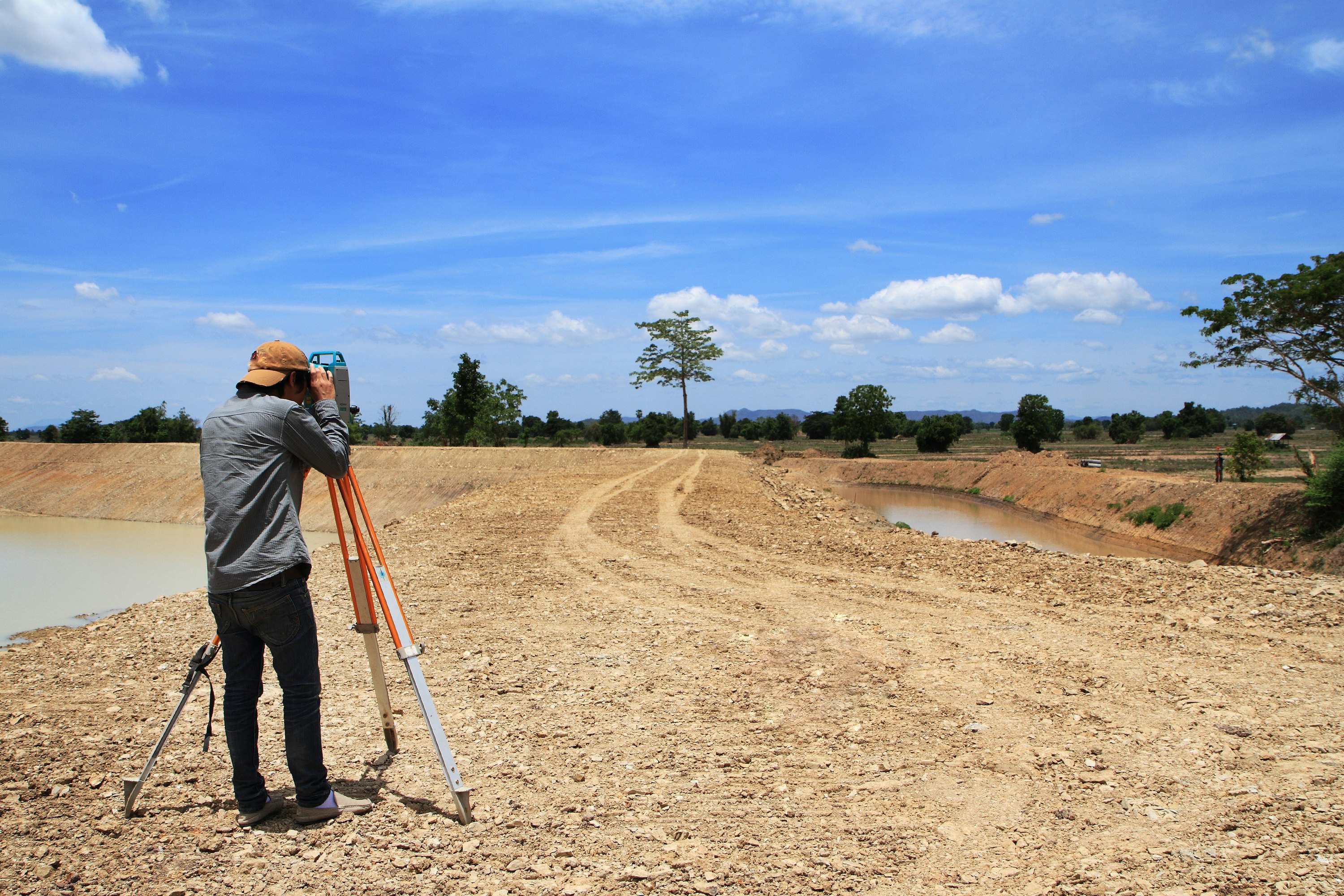
When you start a construction or landscaping project, knowing the exact shape of the land is essential. A topographic survey captures elevation changes, existing structures and natural features, giving you a clear picture of the site before any work begins. This helps avoid costly surprises and ensures your design aligns with real‑world conditions.

What a contour survey includes

Contour surveys focus on mapping the land’s height variations. They produce a series of contour lines that represent equal elevations, making it easy to visualise slopes, drainage paths and potential water flow issues. For developers in Sunrise Beach, a detailed contour plan is a vital tool for managing stormwater and complying with local council regulations.

Detail surveys for accurate planning

Detail surveys go a step further, documenting precise locations of utilities, property boundaries, building footprints and any site‑specific features. This level of detail is crucial for architects, engineers and builders who need exact measurements to create safe and compliant structures.

Choosing a local survey specialist

Finding a surveyor who understands the unique geography of Sunrise Beach and the surrounding area can make a big difference. Local knowledge means quicker turnaround times, familiarities with council requirements and the ability to advise on site‑specific challenges such as coastal erosion or native vegetation preservation.

Common questions about surveys in Sunrise Beach

How long does a topographic survey take? The time varies depending on site size and complexity, but a typical residential plot can be completed within a few days.

Do I need a survey for a small renovation? Even minor projects can benefit from a detail survey to avoid hidden services or unseen ground movements.

What are the costs? Pricing is based on the scope of work, access conditions and required deliverables. Contact us for a free, no‑obligation quote.

Get the right data for your next project

Accurate surveys set a solid foundation for any development, giving you confidence in design decisions and helping you stay on schedule.

Ready to start? Get in touch with our team to discuss your project and find out how we can help you achieve precise results.

Want to learn more about the range of surveying services we offer? Explore our survey services for detailed information on topographic, contour and detail surveys.

Drone and GPS surveying equipment used for engineering site capture
By Focus Survey Group September 3, 2026
Compare drone, GPS and 3D LiDAR surveying, where each method is useful and how survey technology can support engineering projects. Discuss your site with us.

Surveyor taking height and level measurements on a construction site
By Focus Survey Group September 3, 2026
Learn what a feature and level survey measures, how level data supports engineering and construction, and what to prepare before surveying. Contact our team today.