

Focus Survey Group • September 3, 2026

Drone, GPS or LiDAR surveying: Which method suits your project?

Modern surveying techniques using drones and GPS technology offer precise, rapid data collection for a range of projects. If you’re based in Sunrise Beach, these tools can save time, reduce costs, and minimise site disruption.

Why choose drone and GPS surveys

Unlike traditional ground‑based methods, drones capture high‑resolution imagery from the air while GPS receivers record exact coordinates. The combination provides a detailed, three‑dimensional view of any site.

Benefits for local projects in Sunrise Beach

Sunrise Beach’s coastal terrain and dense vegetation can make conventional surveys difficult. Drone and GPS surveys can navigate these obstacles, delivering reliable data for coastal development, residential builds, and environmental assessments.

How the survey process works

1. Initial consultation – We discuss project goals, site constraints and required deliverables.
2. Flight planning – A flight path is programmed to cover the area efficiently while complying with local regulations.
3. Data capture – The drone records aerial images; a GPS receiver logs ground points simultaneously.
4. Data processing – Images are stitched into a orthomosaic and GPS points are merged to create a detailed 3D model.
5. Delivery – You receive a comprehensive digital report ready for design or compliance work.

Common applications of drone and GPS surveys

• Construction site layout and progress monitoring
• Land subdivision and property boundaries
• Environmental and erosion assessments
• Flood mapping and coastal management
• Infrastructure inspections such as roads and bridges

Choosing the right survey provider in Sunrise Beach

Look for a team with certified drone pilots, up‑to‑date GPS equipment, and experience handling local regulations. A provider that understands the specific challenges of the Mornington Peninsula area will deliver data that meets council requirements and industry standards.

Get started with Focus Survey Group

Ready to see how drone and GPS surveys can streamline your next project? Contact us to discuss your site and receive a free quote.

Want more detail on the services we offer? Learn more about our drone and GPS survey options and how they can benefit your development.

Conclusion

Using drone and GPS technology in Sunrise Beach provides accurate, fast and cost‑effective surveying solutions. By choosing a local expert, you gain reliable data, minimise on‑site disruption and stay ahead of project timelines. Reach out today to explore how our services can support your next venture.

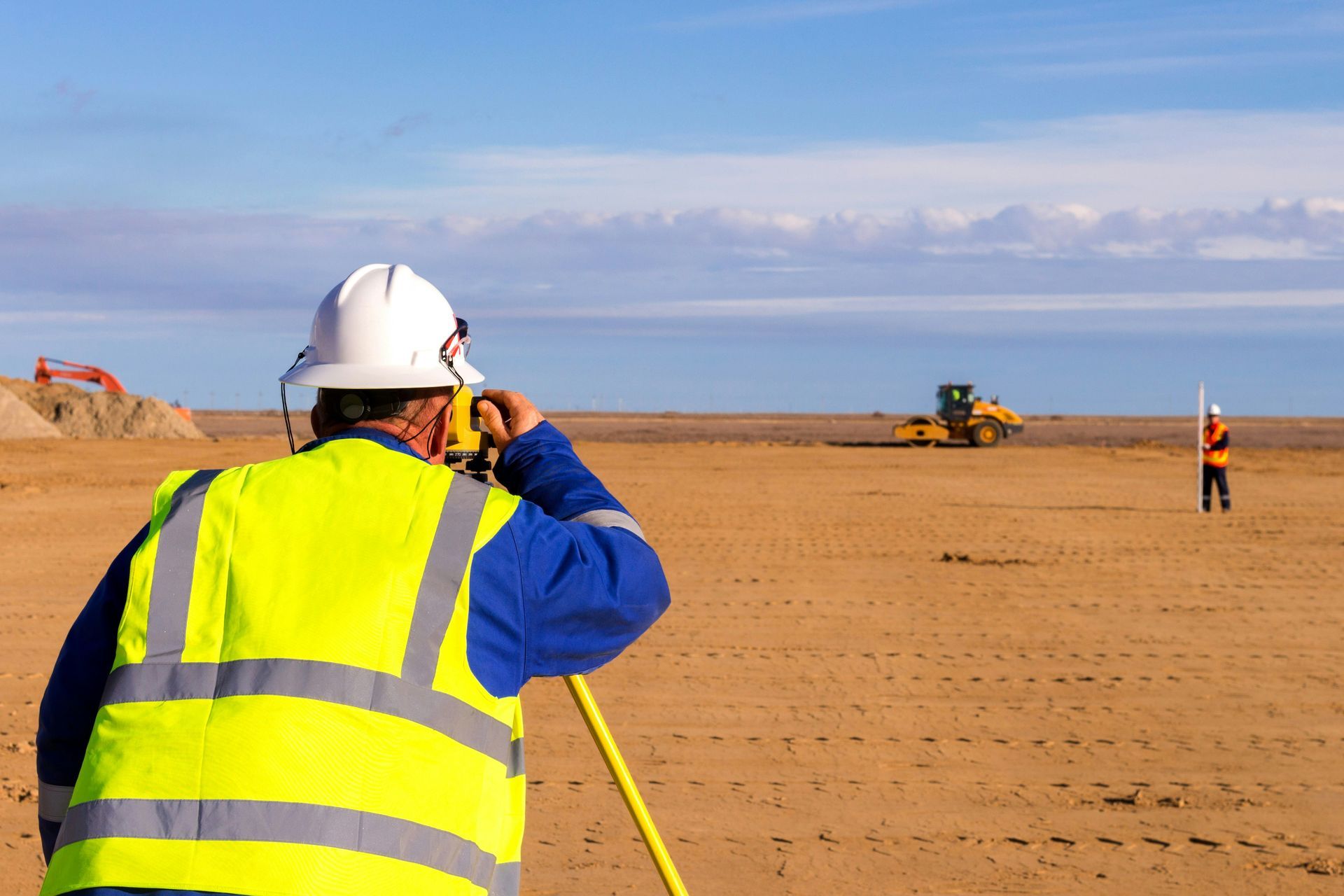
Surveyor taking height and level measurements on a construction site
By Focus Survey Group September 3, 2026
Learn what a feature and level survey measures, how level data supports engineering and construction, and what to prepare before surveying. Contact our team today.
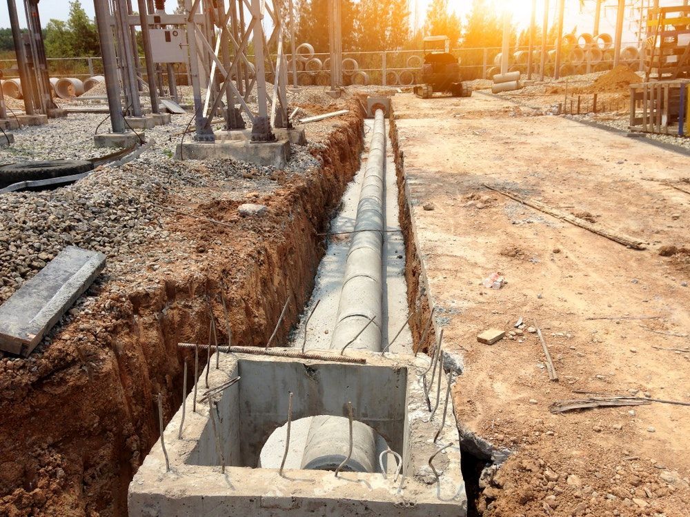
Surveying equipment used for pipeline and monitoring survey work
By Focus Survey Group September 3, 2026
Learn how pipeline and monitoring surveys record alignment, levels and repeat measurements for engineering projects. Explore the process and discuss your requirements.