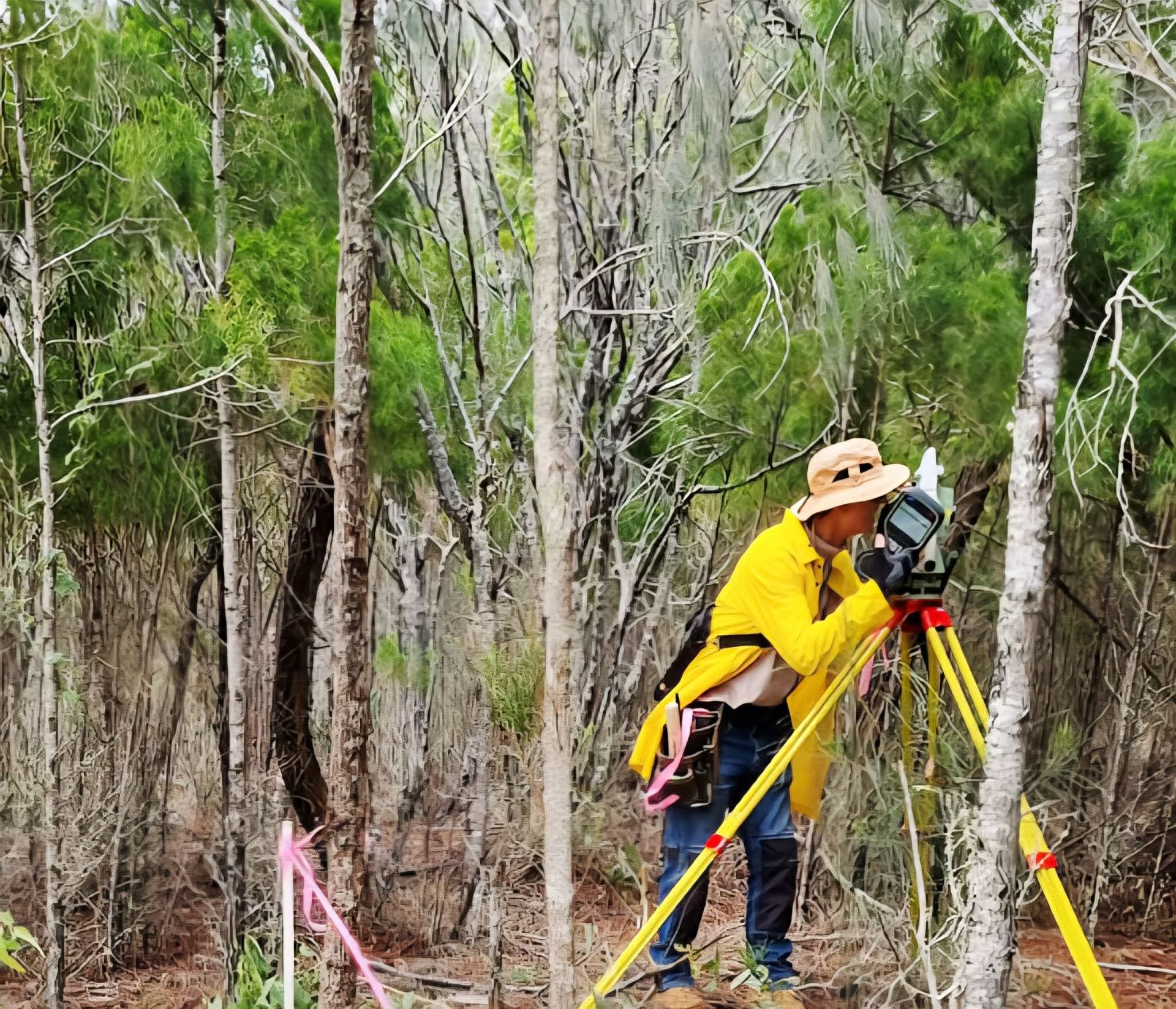
Drone, GPS and 3D LiDAR surveying
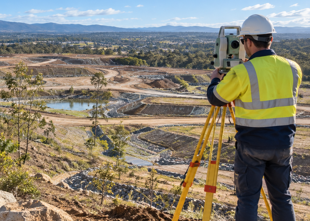
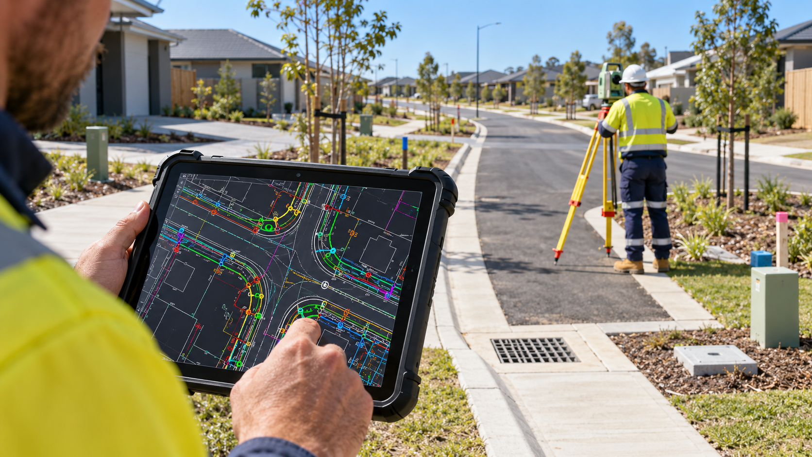
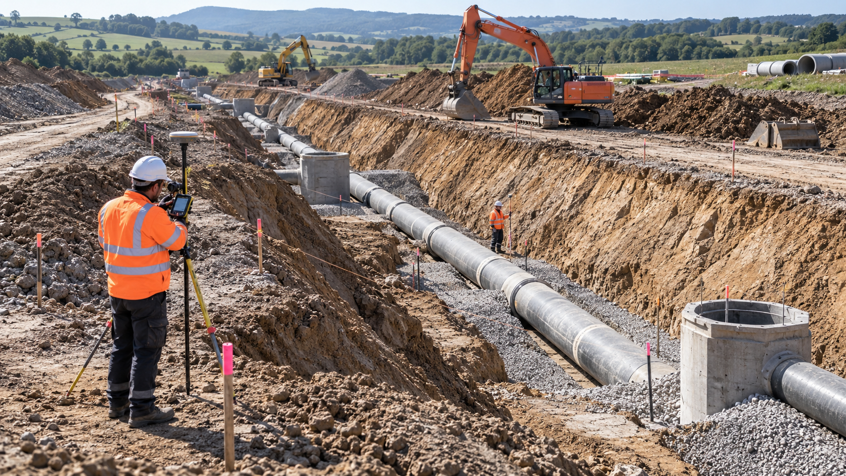
We use drone surveying, GPS surveying and LiDAR scanning to capture detailed data across large, remote or hazardous sites. These methods support efficient site capture, digital models and accurate engineering survey information. We specialise in engineering surveying and do not provide legal, cadastral or boundary surveying.
Advanced site capture for complex project conditions
Drone surveying can capture topography, natural features and existing infrastructure across large or difficult-access areas. GPS and 3D LiDAR scanning add accurate geospatial measurements and detailed point cloud data that can support engineering design and construction workflows.
Technology-based surveying applications
- Drone topographic surveys
- GPS surveying
- 3D LiDAR scanning
- Point cloud capture
- CAD digital twins and 3D modelling
- Large, remote or hazardous site surveys
Choose the right digital survey method for your site
Tell us about your site conditions, project objectives and required outputs and our team can advise on a suitable approach.
Talk to our survey technology team
Contact Focus Survey Group for drone, GPS and LiDAR surveying across the Sunshine Coast and wider Southeast Queensland.
Contact us
We will get back to you as soon as possible.
Please try again later.